01
Crop Protection
Eligible fungicide, insecticide and rescue applications where current Canadian labels permit aerial use.

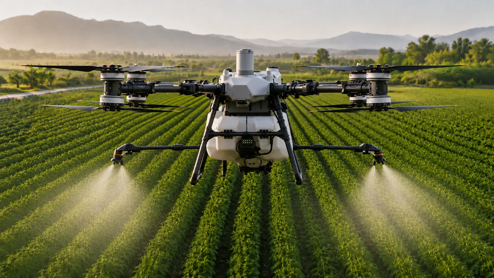
AGRICULTURAL DRONE APPLICATION • MAPPING • PRECISION AGRICULTURE
NorthCrop Aerial Ag provides professional agricultural drone application, cover-crop seeding, field mapping and crop scouting support for Ontario growers looking to add another practical precision-agriculture tool to their operation.
SERVICES
NorthCrop is focused on jobs where a drone can provide a meaningful advantage in access, timing, field coverage or information.
Eligible fungicide, insecticide and rescue applications where current Canadian labels permit aerial use.
Aerial seeding into suitable standing crop or post-harvest acres where timing and field conditions fit the practice.
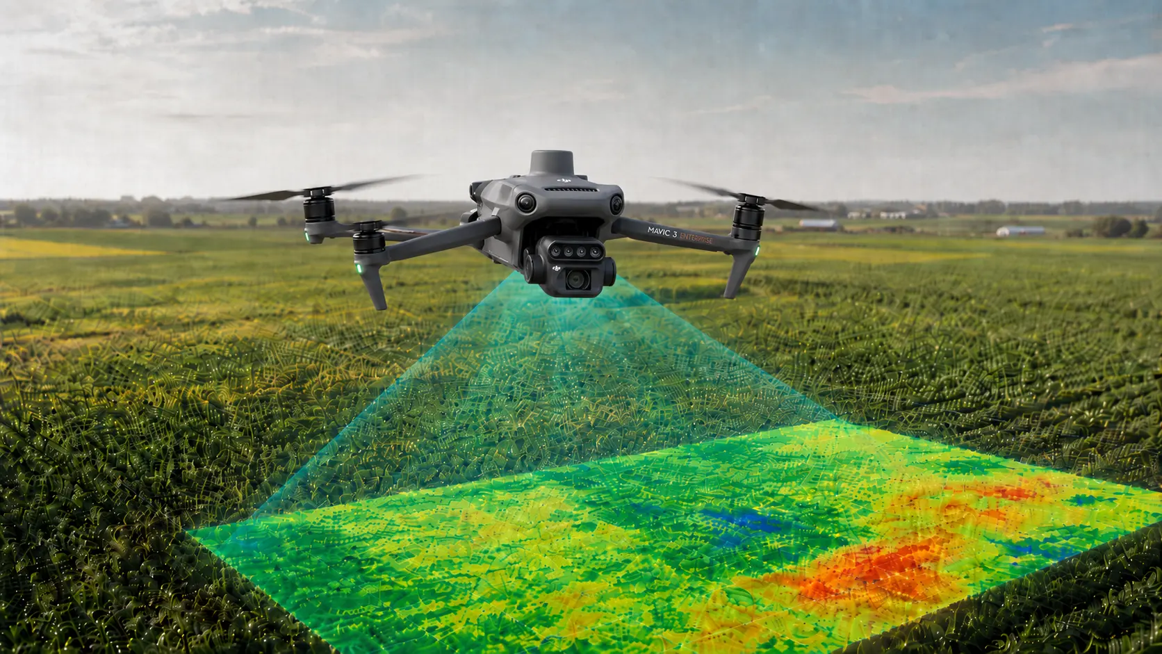
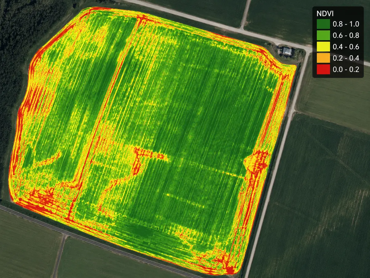
RGB and multispectral imagery to identify crop variability, direct ground scouting and improve field-level decisions.
Use mapped and ground-truthed field information to support targeted treatment planning where appropriate and eligible.
Selected imaging, mapping and aerial-application opportunities reviewed crop by crop and field by field.
CORE PLATFORMS
MAPPING & PRESCRIPTION WORKFLOW
Multispectral mapping is most useful when it makes a large field easier to inspect. NorthCrop uses imagery to identify variation, prioritize scouting and support better-informed treatment planning.
WHERE A DRONE FITS
NorthCrop is designed to complement existing farm equipment and custom application—not replace every pass.
Keep another application option available when soil trafficability is poor.
Reach later crop stages without driving through standing crop.
Add flexibility when crop-protection windows are short.
Work smaller, irregular or harder-to-access fields more efficiently.
SERVICE AREA
NorthCrop Aerial Ag is based in Clearview, Ontario. Service planning is driven by acreage, crop need, timing and efficient mobilization rather than a narrow local-only boundary.
2027 PRIORITY ACREAGE
This is a non-binding grower planning inquiry. It helps NorthCrop understand your likely acres, crops, timing and where aerial application or mapping may fit.